New opportunities for the use of digital technologies in conflict regions – How project guidance can function, even in fragile contexts
© Misbahul Aulia from unsplash
The Remote Management, Monitoring and Verification (RMMV) of development cooperation projects emerged, among other reasons, out of the need to remain present in security-critical environments and to support the particularly vulnerable population there. In the meantime, the areas of application have grown far beyond this. Nevertheless, the need for remote monitoring in conflict regions remains. A wide range of new opportunities were presented at the RMMV Conference of KfW and the Federal Ministry for Economic Cooperation and Development (BMZ) in February 2023.
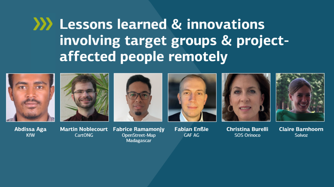
The satellite image shows in high resolution what is happening in the Venezuelan rainforest. Large areas have been cleared, and huts have been built there. The non-governmental organisation (NGO) SOS Orinoco has confirmed what witnesses have claimed: the forest is being felled to make room for illegal gold mines. The mercury from gold extraction pollutes the surrounding bodies of water. “We can’t travel to the region because it is controlled by Colombian guerilla forces,” explains Cristina Burelli, founder of SOS Orinoco. The satellite images, which show the area with a resolution of ten metres, are therefore so important. They prove that at least 2,800 hectares of forest have been felled since 2018. With the help of this information, NGOs can take legal action against it.
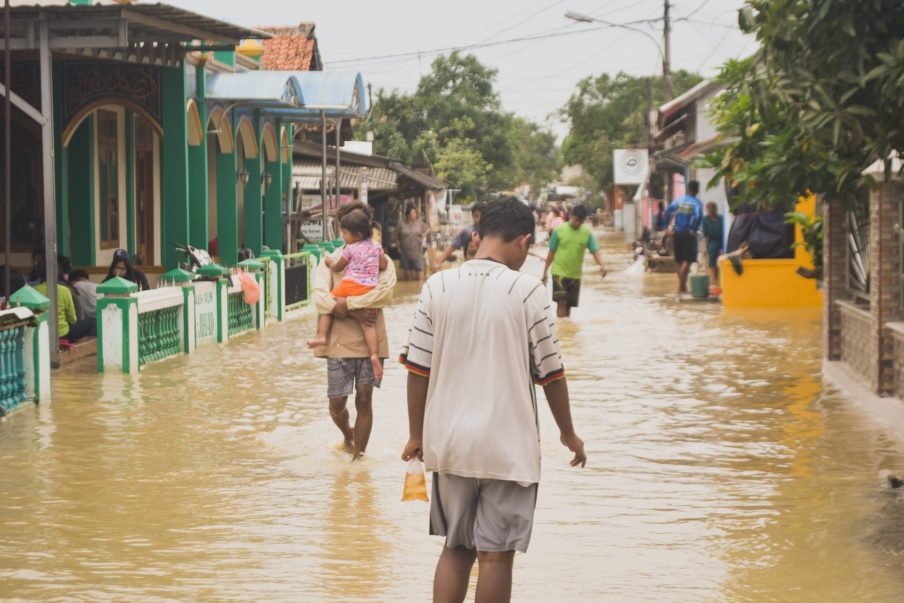
Aerial photographs were also used after the large floods in Pakistan in 2022. “We can see not only the flooded areas, but also how high the waters are, the duration of the flooding and the extent of the damage,” says Arnd Berns from GAF AG. Mapping disaster areas was first used following the tsunami in Southeast Asia and is now being standardised and applied in a timely manner to provide information for emergency aid and reconstruction.
Emergency aid requires a lot of resources in a short amount of time. An app from the Dutch company Solvoz shows how this aid can be procured in accordance with international procurement standards, but at the same time faster, more sustainably and as locally as possible. “Everything is available worldwide at all times, the only piece missing is information”, according to Solvoz-CEO Claire Barnhoorn. The app fills this gap by referring to thousands of regional sources of supply.
The Sahel Alliance, an international coordination platform of several donor organisations and the G5 Sahel countries, has been using a common database since 2021, which contains information on more than 200 ongoing projects. “Exchanging information is now faster, more efficient and more transparent,” says Bruno Leclerc, Regional Director of the Agence Française de Développement (AFD) in Sahel.
In Ukraine, data management is used to process the transfer for aid funds. Since 2022, the Ukrainian Red Cross, on behalf of the Ukraine government, has paid the equivalent of EUR 9.8 million to a total of 127,000 families who have taken in refugees. The distribution of funds was documented via an online platform. To verify whether the recipients received the funds, the Red Cross set up an interactive website, a call centre and a hotline, which received more than 9,000 messages as feedback.
In Timor-Leste, development experts and the local government rely on satellite data processed by artificial intelligence to evaluate current information on vegetation cover and agricultural use, as Paolo Manunta from the Asian Development Bank reports.
The diverse examples show that technologies and services in fragile contexts have found numerous use cases that go far beyond the remote control of projects.
Follow-Up to the RMMV Conference:
